Tropical Storm Chantal Brings Heavy Rain and Flood Risks to South Carolina and Beyond
Tropical Storm Chantal Makes Landfall in South Carolina
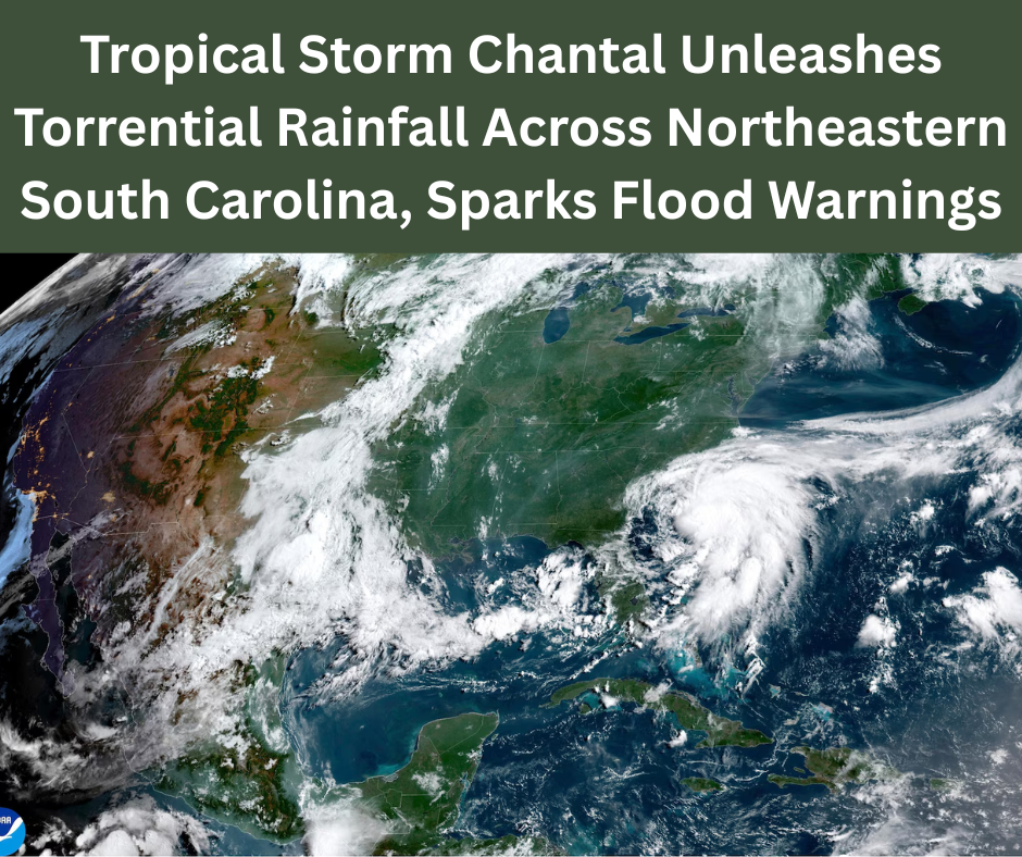
Tropical Storm Chantal officially made landfall in Litchfield Beach, South Carolina, around 4 AM on Sunday, bringing strong winds and torrential rainfall to the region. With maximum sustained winds of 50 mph, Chantal caused significant disruptions as it advanced inland. The National Hurricane Center (NHC) in Miami issued tropical storm warnings across parts of both North and South Carolina, warning residents of dangerous weather conditions.
Current Status of Tropical Storm Chantal
As of Sunday morning, Tropical Storm Chantal was located approximately 70 miles east of Charleston, SC, and about 85 miles southwest of Wilmington, NC. The storm was moving north at 8 mph and has begun weakening as it progresses inland. However, the reach of tropical storm-force winds extended up to 115 miles from the storm’s center, spreading hazardous conditions far beyond its core.
Tropical Storm Chantal Sparks Flood Alerts and Warnings
The primary threat from Tropical Storm Chantal remains heavy rainfall and potential flash flooding. Rain bands have already made landfall in coastal areas, and forecasts indicate continued precipitation through Monday across northeastern South Carolina and parts of North Carolina. Expected rainfall totals range from 2 to 4 inches, with isolated areas potentially receiving up to 6 inches.
South Carolina’s Emergency Management Division issued alerts regarding possible isolated tornadoes and minor coastal flooding. Authorities continue to urge residents to avoid driving through water-covered roads and to heed all road closure warnings.
Tropical Storm Chantal to Impact Maryland and Beyond
Although Chantal is expected to weaken into a tropical depression by the time it reaches Southern Maryland on Monday, the system will continue to influence weather patterns across the region. Tropical moisture interacting with an approaching cold front could result in broader thunderstorm activity by Tuesday, increasing the potential for severe weather.
Tropical Storm Chantal’s Broader Weather Impact
Chantal is ushering in a surge of tropical humidity as it moves northward. Coupled with a cold front coming from the Northern Plains, meteorologists expect volatile weather conditions, including widespread thunderstorms, to develop across the Mid-Atlantic region. The 7-day forecast predicts continued daily showers and storms, with Tuesday shaping up to be the most severe due to the frontal interaction.
Chantal’s Landfall and Immediate Aftermath
Upon landfall, Chantal unleashed strong winds and heavy rain along the South Carolina coast. Flash flooding became an immediate concern, particularly along and east of the storm’s path. Coastal areas such as North Myrtle Beach saw increased surf activity, with lifeguard teams performing multiple rescues for those caught in rough Atlantic waters.
The National Weather Service has also issued warnings about storm surge risks. A surge of 1 to 2 feet is expected between South Santee, SC, and Surf City, NC. This could flood low-lying coastal zones and lead to road closures and property damage.
Localized Impacts from Tropical Storm Chantal
Eastern North Carolina and northeastern South Carolina face the highest risks from Chantal. Along with flooding, there’s a growing chance of isolated tornadoes, particularly in areas already saturated by rain. Emergency services across the Carolinas have been mobilized, and residents are encouraged to prepare for power outages and localized damage.
Public Safety and Preparedness Tips
In light of Tropical Storm Chantal, public safety officials recommend the following precautions:
- Stay informed through official weather alerts and local news.
- Avoid walking or driving through floodwaters.
- Secure outdoor furniture and other loose items that could become airborne.
- Charge electronic devices and prepare emergency kits with essentials like water, non-perishable food, and first-aid supplies.
Tropical Storm Chantal in Context
This storm serves as a reminder of the importance of early preparedness during hurricane season. While not a hurricane, Tropical Storm Chantal has brought significant weather hazards to densely populated coastal areas. Local governments continue to monitor the situation, especially with the possibility of additional storms forming in the Atlantic.
Looking Ahead: What’s Next After Tropical Storm Chantal?
As Chantal moves inland and loses strength, attention will shift to the upcoming cold front expected to impact much of the eastern U.S. Forecasters warn of increased chances of strong to severe thunderstorms on Tuesday, as remaining tropical moisture may enhance storm development.
While Chantal may weaken, its influence will persist through Monday and potentially into Tuesday, with lingering rain and elevated humidity. Recovery efforts in the Carolinas are likely to begin immediately after the storm passes, particularly in areas affected by flooding or power outages.
Conclusion: Staying Safe in the Wake of Tropical Storm Chantal
Tropical Storm Chantal may not have reached hurricane strength, but its impact on South Carolina and the surrounding areas is undeniable. From strong winds and heavy rainfall to the threat of flash flooding and tornadoes, Chantal serves as a powerful example of how tropical storms can disrupt daily life and challenge infrastructure.
Residents are urged to remain cautious and follow the guidance of local authorities. Continued updates will be essential in tracking the storm’s progression and managing the aftermath. For now, Tropical Storm Chantal continues to be a significant weather event in the 2025 Atlantic storm season.
Read more: wordle Review No 1478