Philadelphia Heatwave Alert: Rising Temperatures Set to Soar Above 100 Degrees
Philadelphia Heatwave Alert: Extreme Heat to Grip the City Starting Wednesday
After an unusually cool spell in mid-June, a significant shift in weather is on the horizon. According to the National Weather Service, the Philadelphia Heatwave Alert is now in effect, with temperatures expected to climb steadily beginning Wednesday. The high is forecasted to hit 89 degrees, kicking off a prolonged period of oppressive heat.
Philadelphia Heatwave Alert: Scorching Temperatures Ahead
Meteorologist Nick Guzzo from NWS Mount Holly stated that the heatwave will persist into next week. Temperatures are expected to reach 94°F on Sunday, with Monday and Tuesday bringing blistering highs of 98°F and 99°F, respectively.
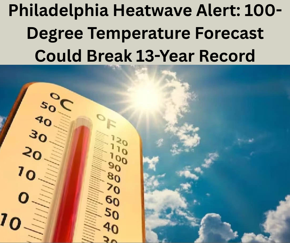
Since 2000, Philadelphia has experienced only eight days where the temperature soared to 100 degrees or higher at the Philadelphia International Airport. The last such occurrence was in 2012, making this week’s forecast especially noteworthy under the ongoing Philadelphia Heatwave Alert.
Philadelphia Heatwave Alert: A Rare June Scorcher
Historically, it’s uncommon for Philadelphia to break the 100-degree mark in June. The last time it happened was in 1994, when the mercury hit 100°F on June 15 and 19. Last June’s high of 98°F on the 24th made it the fourth-warmest June in Philadelphia since 1872. The city’s average temperature around mid-June typically hovers around 84°F.
“This sudden surge in heat feels more drastic, especially after the recent cool spell,” said Guzzo. “We’re witnessing a significant weather shift.”
Philadelphia Heatwave Alert: Sudden Temperature Shift
On Sunday, the city saw a high of just 64°F, and cloudy skies were responsible for the cooler conditions. Now, a warm front and increased humidity are expected to dominate the region, contributing to the ongoing Philadelphia Heatwave Alert.
“Clouds helped keep the temperatures down, but now we’re clearly entering a new weather pattern,” Guzzo added.
Philadelphia Heatwave Alert: What Defines a Heatwave?
In Philadelphia, a heatwave is defined as a stretch of three or more days with temperatures exceeding 90°F. Last summer saw three such events: June 18–23, July 4–10, and August 1–3. During those times, the city issued excessive heat warnings and opened cooling centers to provide relief.
2024 has already matched 2012 as the hottest year on record for Philadelphia. This aligns with NASA’s data indicating that global surface temperatures were the highest ever recorded in 2023. While Guzzo did not link this heatwave directly to climate change, the rising temperature trend is hard to ignore.
Philadelphia Heatwave Alert: Stay Safe and Informed
Rapid shifts from cool to hot conditions can catch people unprepared. The National Weather Service plans to issue advisories encouraging residents to stay cool and cautious.
“People are more vulnerable when the heat rises suddenly,” warned Guzzo. “We emphasize safety because this type of heat can be dangerous.”
Philadelphia Heatwave Alert: Summer Weather Finally Arrives
After weeks of gloomy, rainy weekends, summer weather is finally arriving in a big way. With sunshine and temperatures well into the 90s, residents will be reminded just how intense East Coast summers can be.
This dramatic shift is due to a massive atmospheric ridge settling over the Eastern United States, with its center located directly over Pennsylvania. Combined with humid air from the Atlantic, the result is a stifling and exhausting heatwave, typical of the classic East Coast weather pattern.
Philadelphia Heatwave Alert: Dew Points and Humidity Will Add to the Discomfort
Expect dew points to reach the 70s, making the heat feel even more unbearable. It won’t be a dry heat—rather, a heavy, humid air mass will dominate, making even short trips outdoors uncomfortable.
Philadelphia Heatwave Alert: Safety Precautions You Should Follow
The Philadelphia Heatwave Alert comes with some important safety tips. The heatwave is expected to peak between Monday and Wednesday but will last for at least seven days. The best way to protect yourself is by staying indoors during the hottest parts of the day.
While elderly individuals and young children are most at risk, the extreme heat can impact anyone. Here’s what you need to know about maximum heat index levels:
- Area A: 97–102°F with high dew points, heat index 105–110°F. Risk of heat cramps, exhaustion, and possible heat stroke.
- Area B: 93–97°F with high dew points, heat index 100–105°F. High risk of heat exhaustion.
- Area C: 90–93°F with high humidity, heat index 95–100°F. Risk of heat-related illnesses.
- Area D: 87–90°F, heat index 90–95°F. Possible heat exhaustion.
- Area E: 85–87°F. Though cooler, still poses a risk with prolonged exposure.
Philadelphia Heatwave Alert: Final Thoughts
Share this Philadelphia Heatwave Alert with your friends and family. Stay informed, stay hydrated, and avoid outdoor activities during peak heat hours. As temperatures climb toward record-breaking highs, taking proactive steps can prevent heat-related health issues.
Stay tuned for updates and advisories from the National Weather Service and local officials.
Read more: Hurricane Erick Update
[…] Madrid vs Al Hilal: Match Preview, Predicted Lineups & Expert Score Predictions Philadelphia Heatwave Alert: 100-Degree Temperature Forecast Could Break 13-Year Record Eight Black Airport Shuttle Refunds: Company Issues Official Response to Customer Complaints […]